Kiribati
Geography
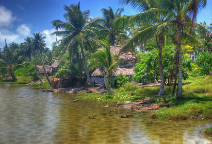
Land Use
People
Economy
Water Statistics
|
Status of Water Resources
Sources of freshwater for Kiribati’s island communities are restricted to rainwater(supplementary sources of freshwater), shallow unconfined groundwater (generally within less than 2 m of the surface), imported water or desalination (Falkland 2002). Seawater is used by many for bathing.
The raised island of Banaba uniquely has fresh water pools in subterranean caves that could serve as an emergency source of water in times of severe drought (Overmars and Butcher 2001). In addition, during the British Phosphate Commission period water was imported in phosphate boats and stored in large 4,500 m3 storage tanks on the island. Water in these tanks is currently unused because of the presence of rust suspension in the water.
Problems with Water Resources and Associated Environment Issues
Numerous reports and policy decisions have clearly enunciated the major issues and concerns in water and sanitation in Kiribati. Some of the principal concerns are listed below.
- Provision of adequate water for human health and community development.
- Provision of equitable access to safe water.
- Protection of water sources
- Provision of appropriate sanitation
- Impact of droughts on water supplies
- Impact of sea level rise on water resources
- Provision of sustainable water supply and sanitation systems
- Ensuring groundwater supply systems do not compromise rights or livelihoods
- Improvement in water governance, capacity building and maintenance of skills
- Improvement in knowledge and monitoring
- Land and water ownership in water source areas and common perceptions
Diagnostic Report
Demonstration Proposal
Hot Spot Analysis
Information on this page obtained from Integrated Water Resources Management programme's Diagnostic Reports (SOPAC 2007)
Demonstration Proposal
Hot Spot Analysis
Information on this page obtained from Integrated Water Resources Management programme's Diagnostic Reports (SOPAC 2007)
© 2024 SPC Water, Sanitation and Hygiene. All rights reserved.