


Federated States of Micronesia
Geography
Land Use
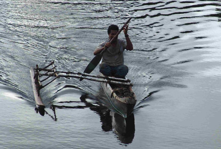
People
Economy
Water Statistics
|
Status of Water Resources
The main sources of fresh water are surface water, groundwater and rainwater. The primary source of fresh water in most of the Island States compromises of both underground, surface water and rainwater; the small islands for each state are fully dependable on rain water and shallow wells due to the low elevation of the islands.
In the FSM’s raised coralline islands, the freshwater lens is tapped through shallow, hand-dug wells to supplement the rainwater catchments and storage tanks which are widely used and commonly the main source of drinking water in the outer islands.
Problems with Water Resources and Associated Environment Issues
The major concerns and issues are impacts of climate change; deforestation of the watersheds; and sanitary controls on the watershed activities – both human and animal.
The deforestation of the islands watersheds is one of the major issues in the FSM. In the early 1980's deforestation of the interior of Pohnpei and resultant pollution of the watershed resulted in the creation of a 5100 ha forest reserve. When survey teams tried to mark out the boundaries of the reserves, they were threatened by angry villagers. The government quickly backed down and land clearance, largely to plant kava (a valuable social drug crop), continued.
Water quality and resultant health concerns have also been a major issue in FSM. In April 2000, an outbreak of cholera on Pohnpei, affected approximately 3,500 persons and caused 20 deaths, was the result of poor waste water control.
In most parts of FSM, the underground water sources have potentially high iron content. In a study for FSM relating to a high quantity of water extraction from an aquifer but the disturbance of high iron content is an issue among the people and the EPA office that have the full responsibility on water quality assurances.
The FSM IWRM council requires more incentive to integrate on water resource management and its components. Since, the small island countries are slowly developing, a concrete or solid legislation requires effective efforts to initiate the protection of the underground and surface water areas.
Diagnostic Report
Demonstration Proposal
Hot Spot Analysis
Information on this page obtained from Integrated Water Resources Management programme's Diagnostic Reports (SOPAC 2007)
