GEOSCIENCE DIVISION
Map Cook Islands Federated Sates of Micronesia Fiji Kiribati Nauru Niue Papua New Guinea Republic of Marshall Islands Republic of Palau Samoa Solomon Islands Tonga Tuvalu Vanuatu
Country
Population
Land Area
Climate
Water resource
Water consumption
Country Cook Islands Cook Islands
Population 21,750 (July 2007 est.)
Land Area 236.7 km2
Climate
Water resource
Water consumption
Country Federated Sates of Micronesia Federated Sates of Micronesia
Population 107,862 (July 2007 est.)
Land Area 702 km2
Climate
Water resource Avg Rainfall: 4,928 mm per annum
Water consumption
Country Fiji Fiji
Population 918 675 (July 2007 est.)
Land Area 18,270 km2
Climate
Water resource Avg Rainfall: 2000 - 3000 mm per annum
Water consumption
Country Kiribati Kiribati
Population 107,817 (July 2007 est.)
Land Area 811 km2
Climate
Water resource Avg Rainfall: South of the equator: 1,300 mm Tarawa: 2,000 mm Northernmost islands: over 3,200mm Eastern Line Islands: less than 1,000 mm
Water consumption
Country Nauru Nauru
Population 11,528 (July 2007 est.)
Land Area 21 km2
Climate
Water resource Avg Rainfall: 2,090 mm per annum
Water consumption
Country Niue Niue
Population 1,625m(GoN statistics 2006)
Land Area 260 km2
Climate
Water resource Avg Rainfall: 2,180 mm per annum
Water consumption
Country Papua New Guinea Papua New Guinea
Population 5,795,887 (July 2007 est.)
Land Area 462,840 km2
Climate
Water resource Avg Rainfall:1000-80000 mm per annum
Water consumption
Country Republic of Marshall Islands Republic of Marshall Islands
Population 20,842
Land Area 458 km2
Climate
Water resource Avg Rainfall: 3,700 mm per annum
Water consumption
Country Republic of Palau Republic of Palau
Population 61,815(July 2007 est.)
Land Area 11,854.3 km2
Climate
Water resource Avg Rainfall: Southern attols: 4,000mm Northern attols:2,000 mm per annum
Water consumption
Country Samoa Samoa
Population 214,265
Land Area 2,944 km2
Climate
Water resource Avg Rainfall: 3,000 mm per annum
Water consumption
Country Solomon Islands Solomon Islands
Population 566,842
Land Area 28,450 km2
Climate
Water resource Avg Rainfall:1500-5000 mm per annum
Water consumption
Country Tonga Tonga
Population 116,921
Land Area 748 km2
Climate
Water resource Avg Rainfall: Varies from north and south of tonga with an estimated average of 2500 mm per annum
Water consumption
Country Tuvalu Tuvalu
Population 11.992 (July 2007 est.)
Land Area 26 km2
Climate
Water resource Avg Rainfall: 3000mm per annum
Water consumption
Country Vanuatu Vanuatu
Population 211,971 (July 2007 est.)
Land Area 12,200 km2
Climate
Water resource Avg Rainfall: 2000 - 4000 mm per annum
Water consumption
Theme
Key Message
Action
Project Title
Implementing Agency
Partnership Organisation
Location
Status
Donor Agency
Keywords
("," separated)
Cancel
Click here to add a new record to the Pacific Water Action Matrix.
View the map for more country information.
Organisation & Membership


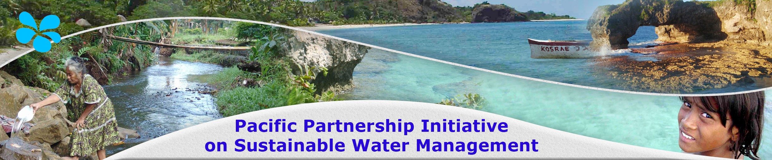
Arrangements of the Pacific Partnership Initiative on Sustainable Water Management

The overall aim of the Initiatives is to ensure coordination and increased partnerships in meeting the WSSD goals through its Plan of Implementation.

The Pacific Partnership Initiative on Sustainable Water Management is coordinated and facilitated by the intergovernmental organisation SOPAC (South Pacific Applied Geoscience Commission), which has the regional mandate to support the Pacific Island Countries in water & sanitation. SOPAC is assisted in this task by a deputy facilitator, the University of the South Pacific (USP).

The Partnership has a Facilitator (based at SOPAC) who is responsible for implementing the core functions of the partnership: liaising between the regional stakeholder groups and their sub-networks; researching and receiving stakeholder information on on-going and planned water activities; tracking donor and development agency programmes; identifying areas requiring implementation; and coordinating proposal submissions and project implementation. The Facilitator is also responsible for high-level advocacy of the strategic approach.
Monitoring and evaluation are carried out using a matrix inventory of previous, existing, planned and proposed activities, including details of the stakeholders involved, the intervention objectives, implementation duration and status, and anticipated impact.

The Facilitator enables countries and development agencies to: identify successful previous activities and therefore improve the sustainability of subsequent interventions; reduce and prevent duplication of activities; link country requirements to development programmes (and vice versa); and augment existing and proposed activities nationally and regionally.

A working group of CROP agencies (Council of Regional Organisations of the Pacific) and NGO representatives has been set up to act as the overall coordinating body of the Pacific Initiatives. Facilitators are asked to report to this Sustainable Development Working Group on a regular basis.

If you have comments on this Partnership Initiative or would like to make contributions and be further involved please do not hesitate to contact us on the following e-mail address: marc@sopac.org