GEOSCIENCE DIVISION
Map Cook Islands Federated Sates of Micronesia Fiji Kiribati Nauru Niue Papua New Guinea Republic of Marshall Islands Republic of Palau Samoa Solomon Islands Tonga Tuvalu Vanuatu
Country
Population
Land Area
Climate
Water resource
Water consumption
Country Cook Islands Cook Islands
Population 21,750 (July 2007 est.)
Land Area 236.7 km2
Climate
Water resource
Water consumption
Country Federated Sates of Micronesia Federated Sates of Micronesia
Population 107,862 (July 2007 est.)
Land Area 702 km2
Climate
Water resource Avg Rainfall: 4,928 mm per annum
Water consumption
Country Fiji Fiji
Population 918 675 (July 2007 est.)
Land Area 18,270 km2
Climate
Water resource Avg Rainfall: 2000 - 3000 mm per annum
Water consumption
Country Kiribati Kiribati
Population 107,817 (July 2007 est.)
Land Area 811 km2
Climate
Water resource Avg Rainfall: South of the equator: 1,300 mm Tarawa: 2,000 mm Northernmost islands: over 3,200mm Eastern Line Islands: less than 1,000 mm
Water consumption
Country Nauru Nauru
Population 11,528 (July 2007 est.)
Land Area 21 km2
Climate
Water resource Avg Rainfall: 2,090 mm per annum
Water consumption
Country Niue Niue
Population 1,625m(GoN statistics 2006)
Land Area 260 km2
Climate
Water resource Avg Rainfall: 2,180 mm per annum
Water consumption
Country Papua New Guinea Papua New Guinea
Population 5,795,887 (July 2007 est.)
Land Area 462,840 km2
Climate
Water resource Avg Rainfall:1000-80000 mm per annum
Water consumption
Country Republic of Marshall Islands Republic of Marshall Islands
Population 20,842
Land Area 458 km2
Climate
Water resource Avg Rainfall: 3,700 mm per annum
Water consumption
Country Republic of Palau Republic of Palau
Population 61,815(July 2007 est.)
Land Area 11,854.3 km2
Climate
Water resource Avg Rainfall: Southern attols: 4,000mm Northern attols:2,000 mm per annum
Water consumption
Country Samoa Samoa
Population 214,265
Land Area 2,944 km2
Climate
Water resource Avg Rainfall: 3,000 mm per annum
Water consumption
Country Solomon Islands Solomon Islands
Population 566,842
Land Area 28,450 km2
Climate
Water resource Avg Rainfall:1500-5000 mm per annum
Water consumption
Country Tonga Tonga
Population 116,921
Land Area 748 km2
Climate
Water resource Avg Rainfall: Varies from north and south of tonga with an estimated average of 2500 mm per annum
Water consumption
Country Tuvalu Tuvalu
Population 11.992 (July 2007 est.)
Land Area 26 km2
Climate
Water resource Avg Rainfall: 3000mm per annum
Water consumption
Country Vanuatu Vanuatu
Population 211,971 (July 2007 est.)
Land Area 12,200 km2
Climate
Water resource Avg Rainfall: 2000 - 4000 mm per annum
Water consumption
Theme
Key Message
Action
Project Title
Implementing Agency
Partnership Organisation
Location
Status
Donor Agency
Keywords
("," separated)
Cancel
Click here to add a new record to the Pacific Water Action Matrix.
View the map for more country information.
Resources Produced

Water Quality Training Package

Water Quality Training Package Water quality training package- "Drinking Water Safety Planning and Water Quality Monitoring". (2010) The training package is designed to train (and certify) community outreach workers (NGOs, health inspectors, environmental officer, community champions and like) as facilitators for community based drinking water safety planning and water quality monitoring. For further information email Kamal Khatri


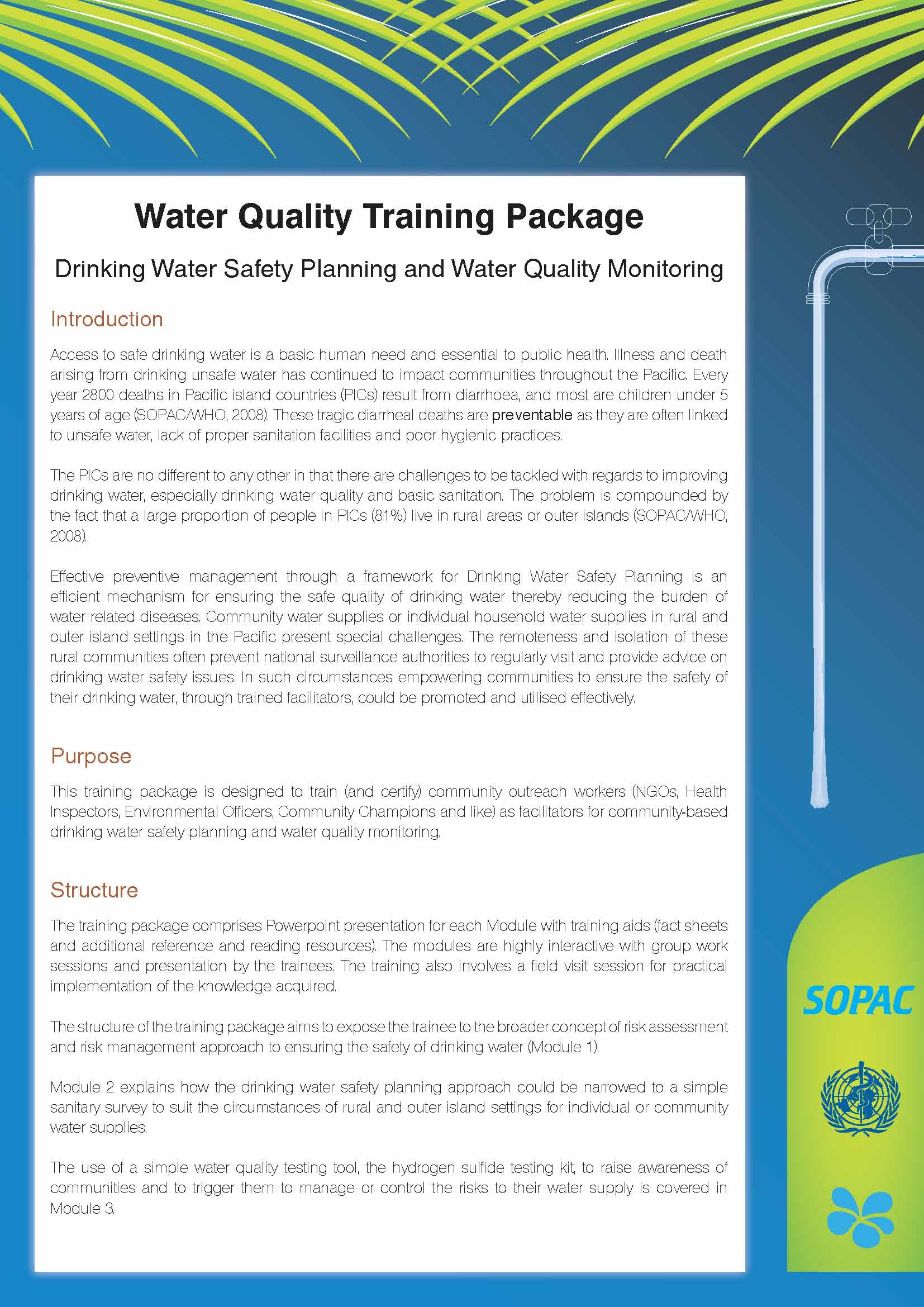
Keeping your Drinking Water Safe: A Community Toolkit


A low-cost alternative test for bacteria to reveal possible faecal contamination in drinking water which is simple and easy to interpret is the hydrogen sulfide (H2S) paper-strip test or the PathoScreen test. The test is well suited for monitoring drinking water systems in rural communities and outer islands where regular laboratory-based water quality testing is not possible.

The following modified sanitary survey forms (English/Marshallese) can be downloaded on the following links:

  1. Modified rainwater sanitary survey form (pdf)
  2. Modified open dug well sanitary survey form (pdf)


Best Practices Guide for Water Laboratories

The principal function of a water testing laboratory is to produce high quality data that are accurate, reliable and adequate for the intended purpose. Important decisions are made on data that are produced by laboratories. This guide explains best practices that can be employed by water testing laboratories to produce high quality data, even in the absence of accreditation or certification.


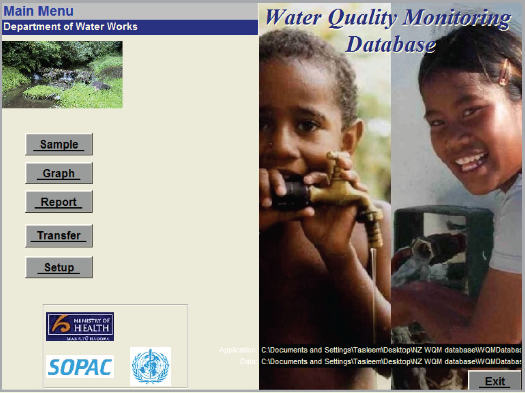
Water Quality Database 

The electronic water quality database developed under WQM is intended to assist participating laboratories improve their data management. The database is user-friendly, provides useful tool for data interpretation to prompt appropriate follow up action, allows easy electronic storage and retrieval of data, graphs data to show trends in time to detect problem areas, allows data comparison to national standards or international guidelines and provides a tool to promote data sharing between agencies. Further support through training of participating laboratories in the use of the database will be provided to improve their data management capacity. 


Designing a Drinking Water Quality Monitoring Programme- A Practical Guide for Pacific Island Countries

Contamination of drinking water is a significant concern for public health throughout the world. Microbial hazards make the largest contribution to water-borne diseases in developed and developing countries. In addition, chemicals in water supplies can cause serious health problems, whether the chemicals are naturally occurring or derive from sources of pollution. It is important for Pacific Island Countries (PICs ) to identify, prioritise and analyse water quality parameters that are of greatest risk to human health. This will ensure that viable and useful information on the status of drinking water quality is achieved within the existing resources (budget, staff and laboratory capacity). Pleas click on the guide below to access the full version of the guide.